SiteMap Solutions
Drone Services for Civil Construction
Accurate photogrammetry, elevation analysis, and aerial photography that help project teams measure conditions, document progress, and make better field decisions.
What We Offer
Practical Data From the Air
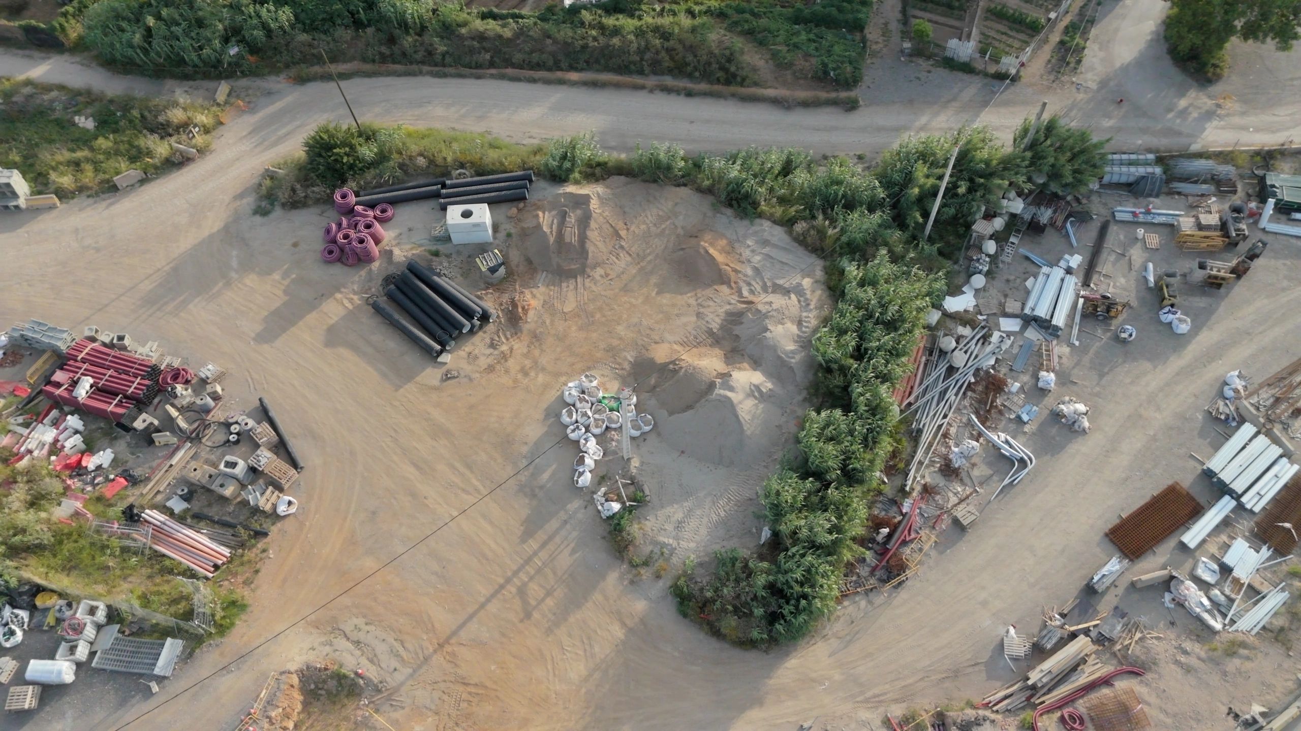
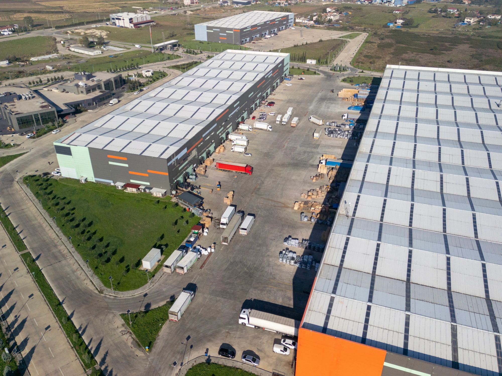
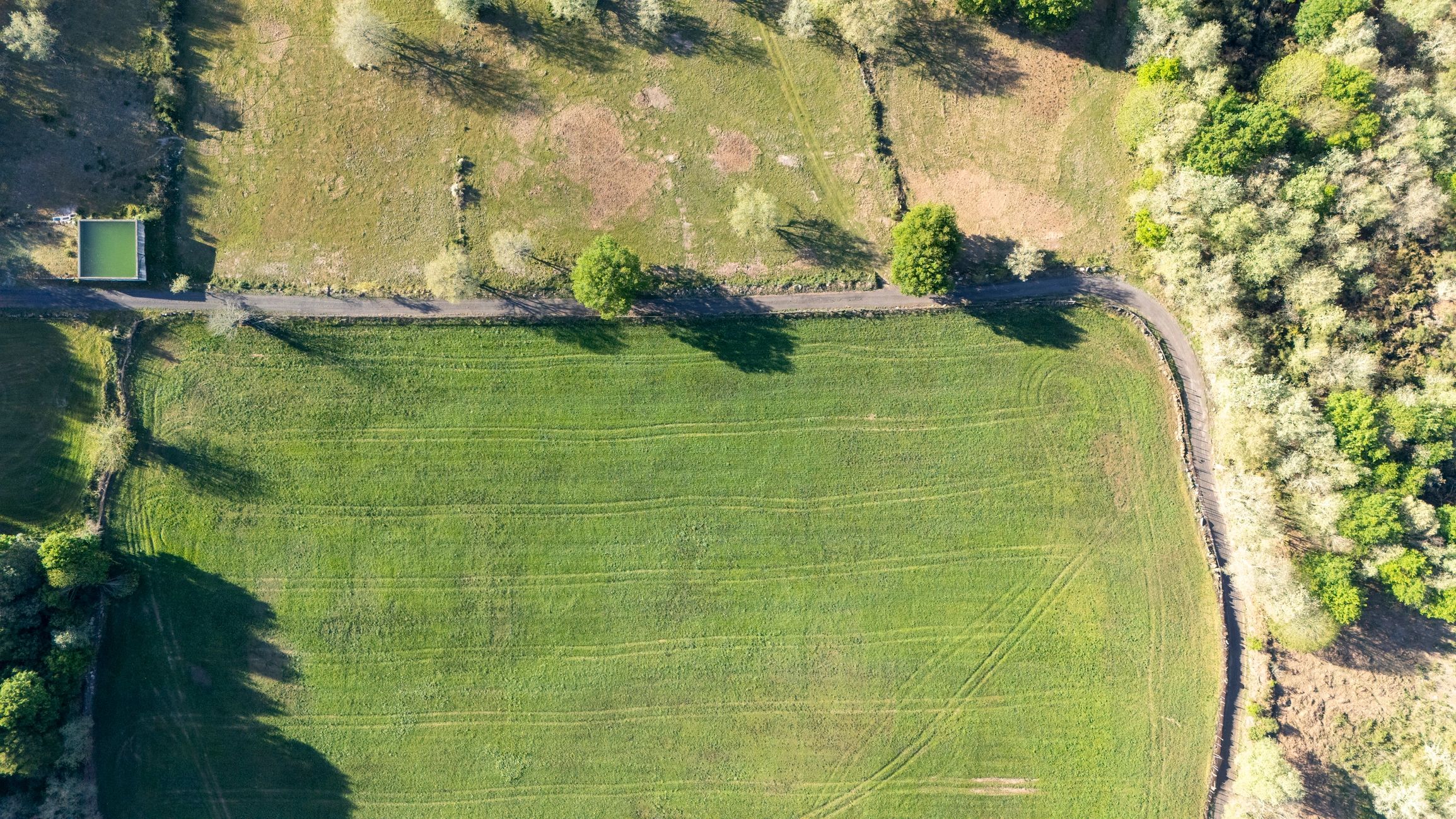
Our drone services are built for construction teams that need clear visuals, dependable measurements, and fast turnaround for planning and reporting.
How the Process Works
A streamlined workflow keeps your team moving from site capture to usable project insight.
01
Plan the Flight
We review the site scope, access conditions, and project goals to define the right capture approach.
02
Capture the Site
Drone flights collect consistent imagery and data across the areas that matter most to your project.
“SiteMap Solutions helps construction teams turn aerial data into clear, practical information for better project decisions.”
03
Process the Data
Collected imagery is organized into deliverables that support measurement, elevation review, and visual documentation.
04
Deliver Insights
Your team receives actionable outputs that can be used for planning, reporting, and ongoing site evaluation.