Accurate
Site data for planning and progress tracking
Actionable data from every flight
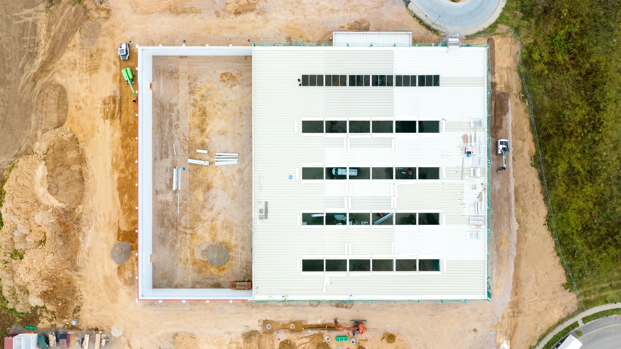
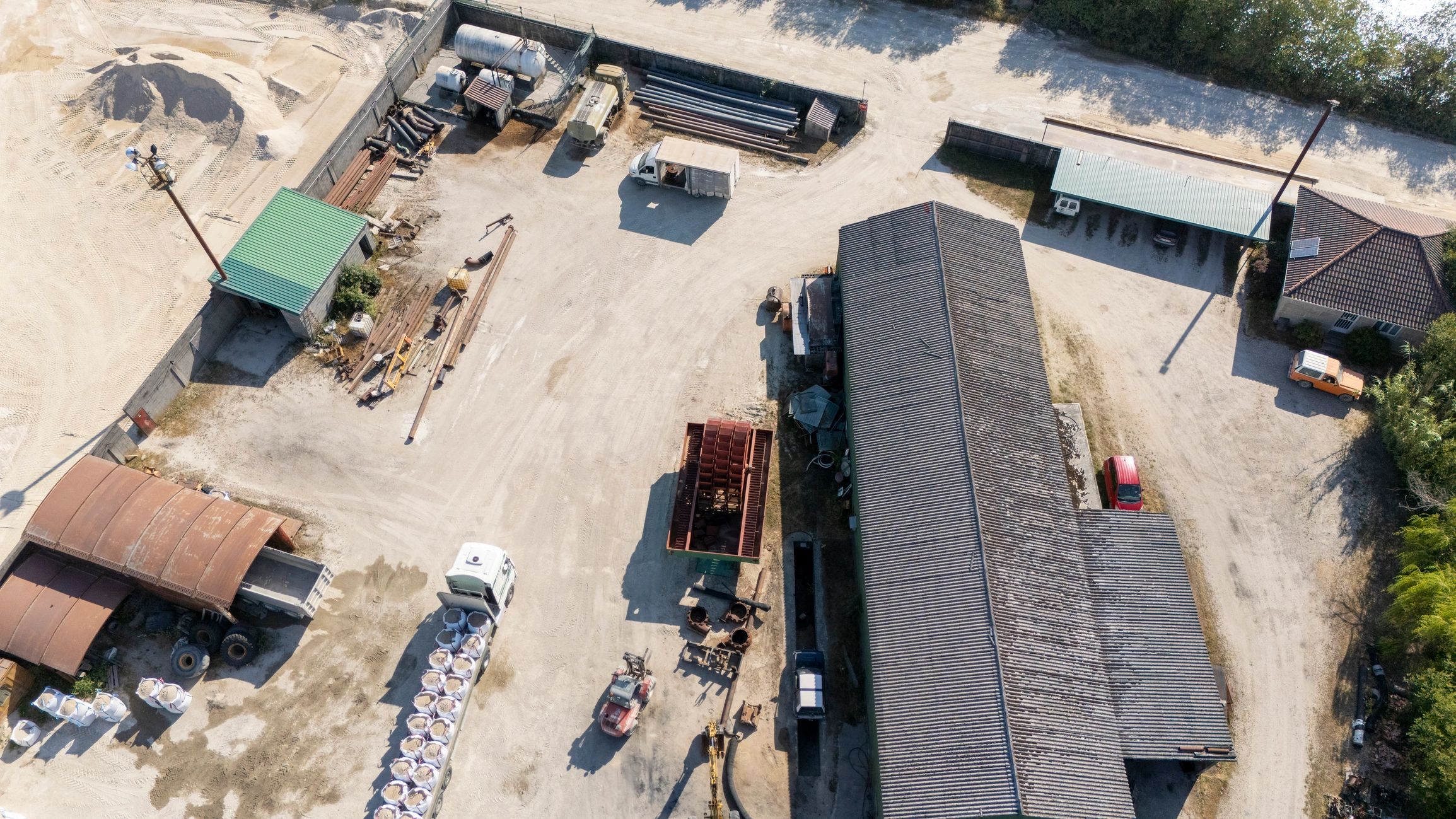
Our photogrammetry service turns aerial imagery into practical construction intelligence. We help project teams understand existing conditions, monitor changes, and support field decisions with clear visual outputs.
Typical deliverables support stockpile measurement, grading review, elevation checks, and progress visibility across active sites. The result is a faster way to assess conditions without relying only on manual observation.
How the process works
A straightforward workflow designed for construction teams that need reliable site information without slowing down operations.
01
Plan the mission
We review the site, project goals, and required outputs to define the right flight path and coverage area.
02
Capture the site
Our drone collects overlapping imagery across the project area to support accurate mapping and analysis.
Built for practical construction use, from earthwork tracking to elevation visibility.
03
Process the data
Images are processed into usable visual and measurement-based outputs for review by your team.
04
Deliver insights
You receive clear information that helps with planning, reporting, and day-to-day project decisions.