About SiteMap Solutions
Built for better construction insight
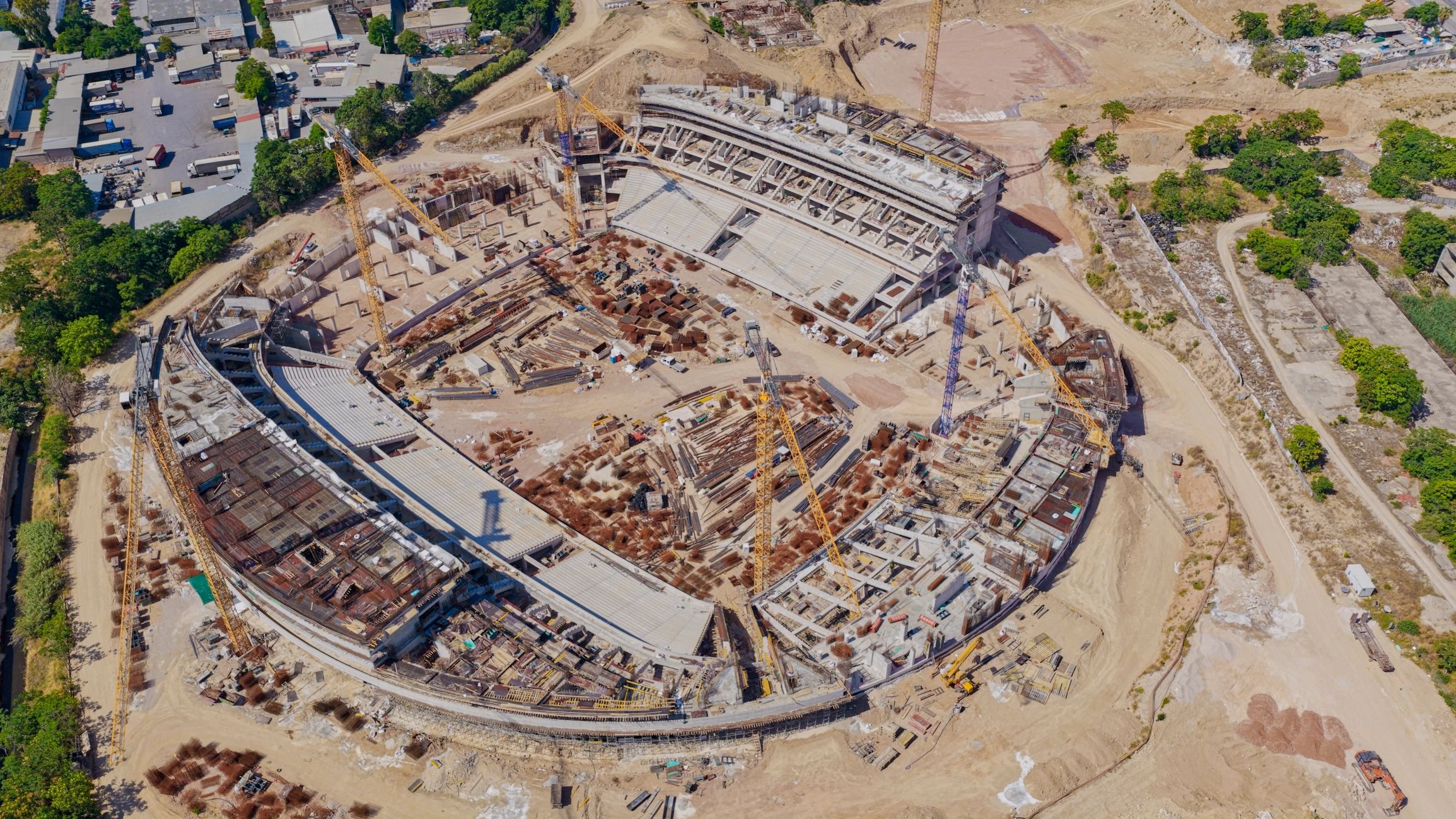
SiteMap Solutions helps civil construction teams turn drone data into practical decisions. We deliver photogrammetry, elevation analysis, volume calculations, and aerial imagery that support clearer planning and more confident project oversight.
Our story
Precision from the ground up
SiteMap Solutions was created to give construction professionals a faster, clearer way to understand changing site conditions. By combining drone capture with dependable analysis, we help teams measure what matters and reduce guesswork in the field.
Our work is grounded in practical outcomes: accurate volume calculations, reliable elevation insights, and aerial visuals that make communication easier across project stakeholders.

Why teams choose us
A practical partner for project teams
We focus on delivering useful outputs for civil construction teams, not just impressive visuals. Every flight and dataset is planned to support field operations, reporting, and decision-making.
Construction-focused deliverables
Clear and usable reporting
Reliable site visibility
Responsive project support
★★★★★
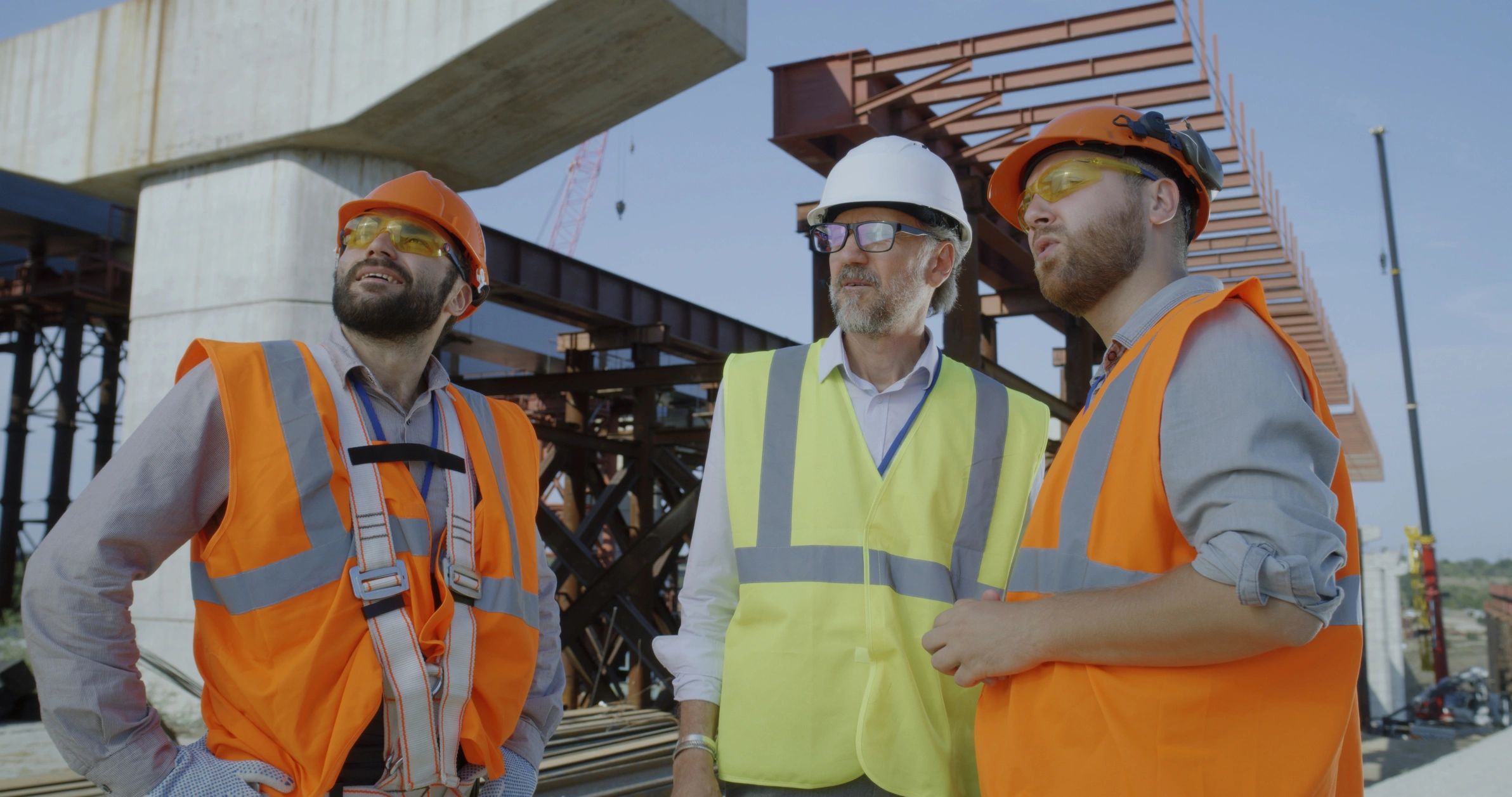
“SiteMap Solutions delivers the kind of aerial data that helps teams move from assumptions to action. Their work supports clearer communication and better visibility across the job site.”
Project Operations Team
Civil Construction Client
Regional Infrastructure Project