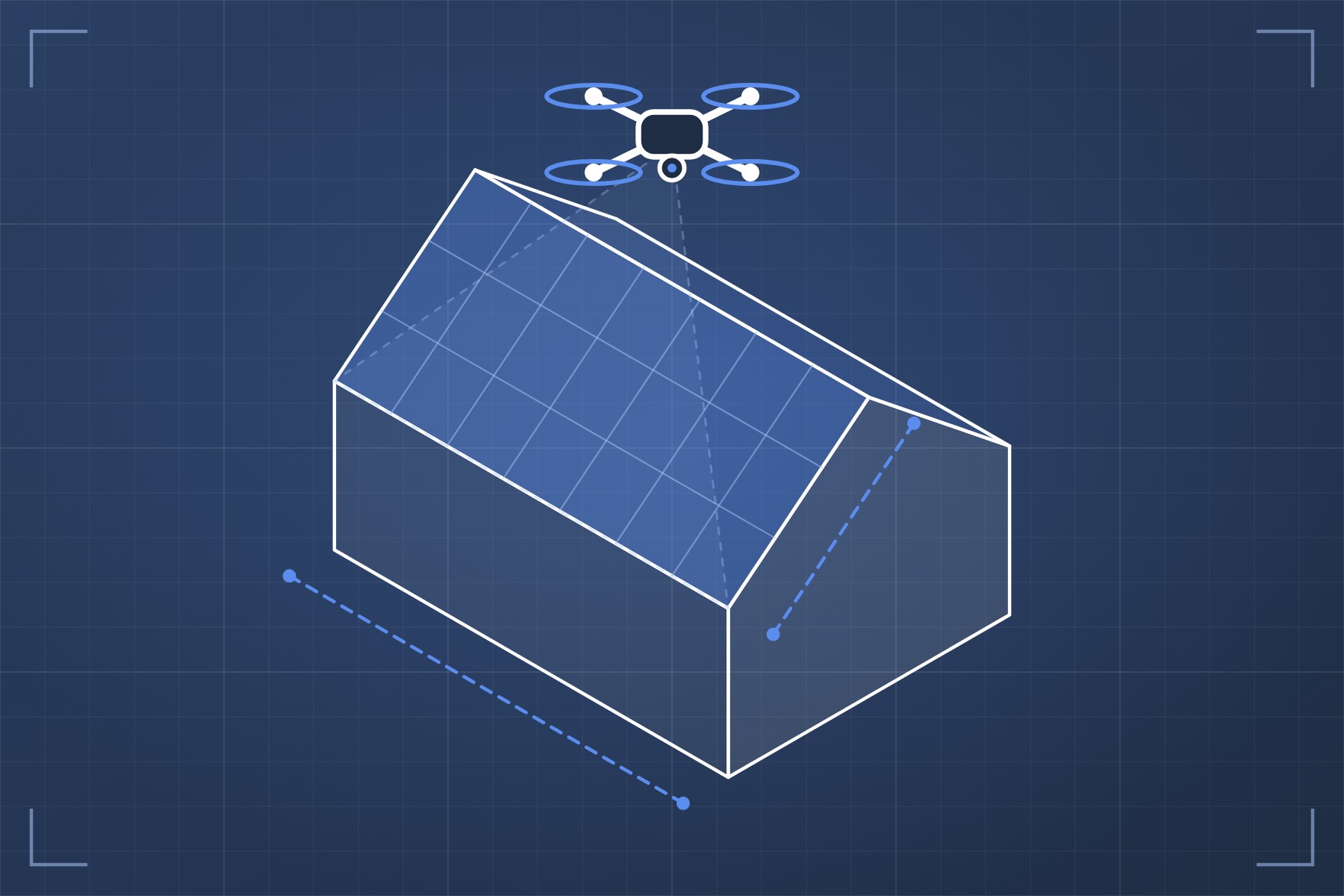
Roof Mapping & Documentation
High-resolution aerial imagery and 3D roof models for measurements, condition documentation, planning, and project coordination.
Real Estate Photography
Professional aerial imagery for residential, commercial, land, and development properties.
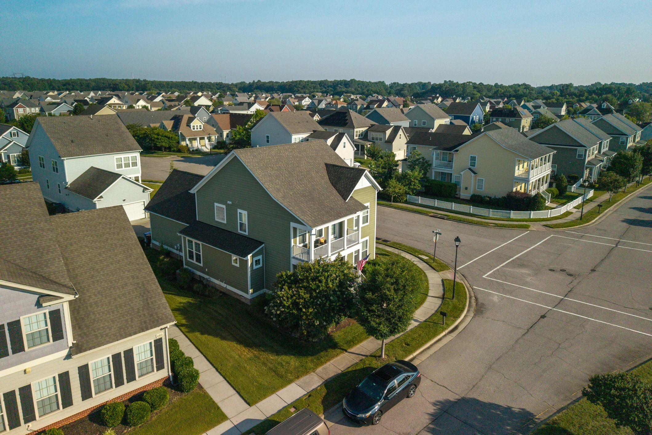
3D Building Modeling
Detailed photogrammetric models, point clouds, and digital representations of buildings and structures for visualization, measurement, and documentation.
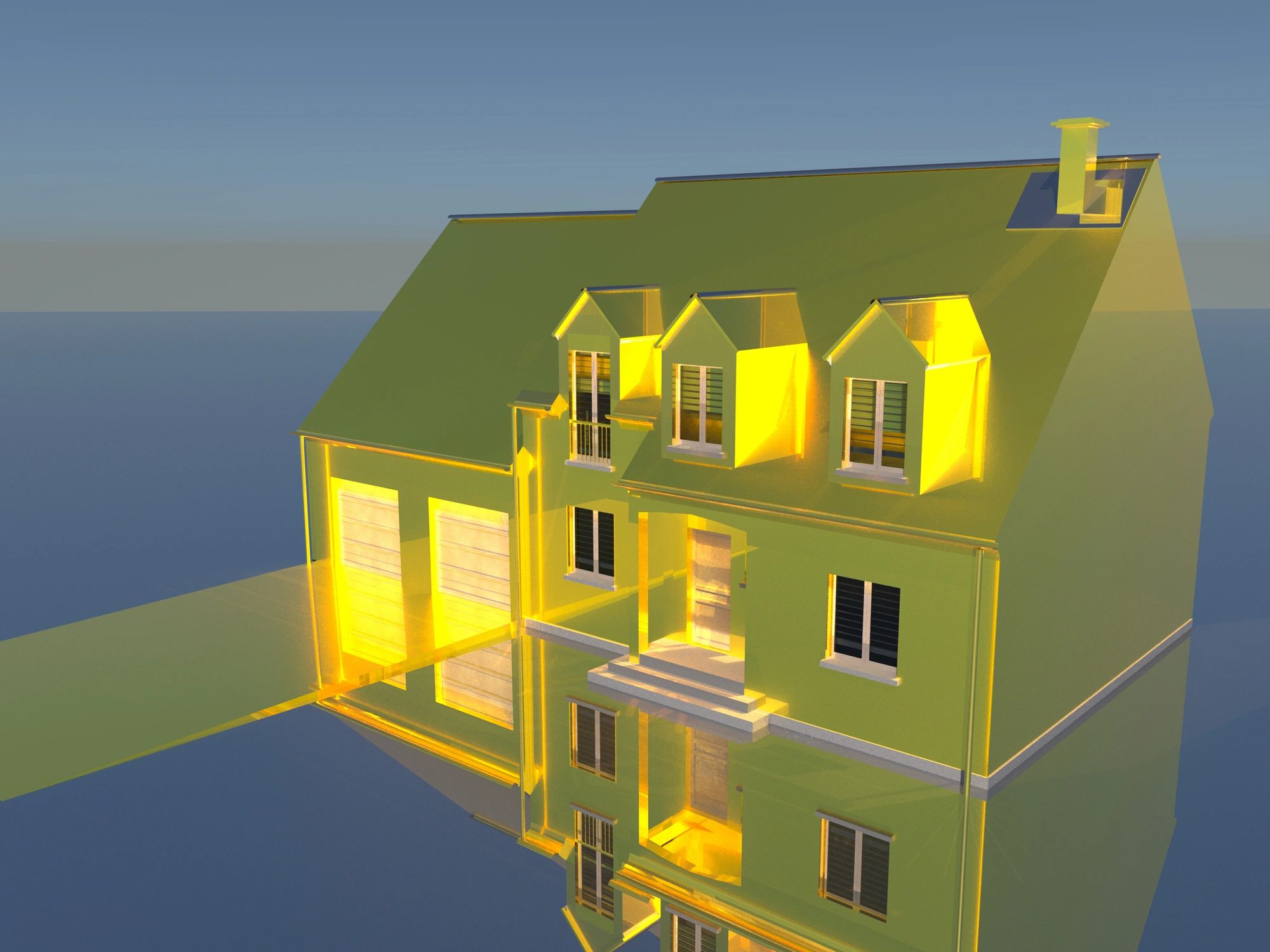
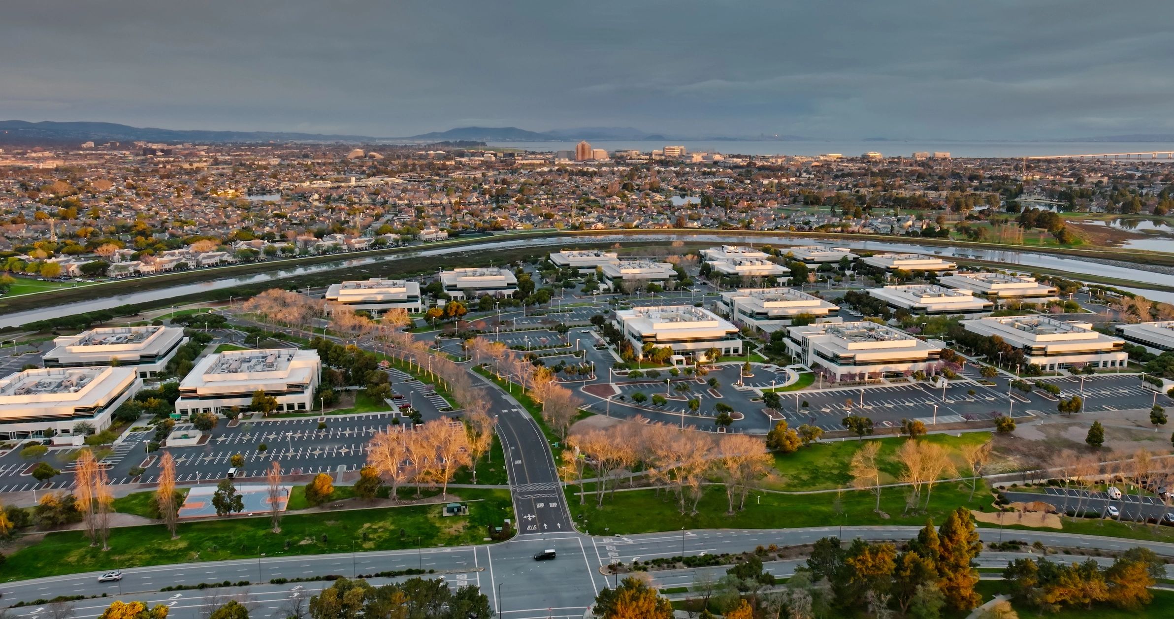
Property & Site Documentation
Capture current conditions of properties, facilities, and project sites to create a detailed visual record that can be referenced and shared over time.
Custom Drone Projects
Specialized aerial data collection, mapping, photography, and modeling tailored to projects that fall outside our standard services.
Landscape Projects
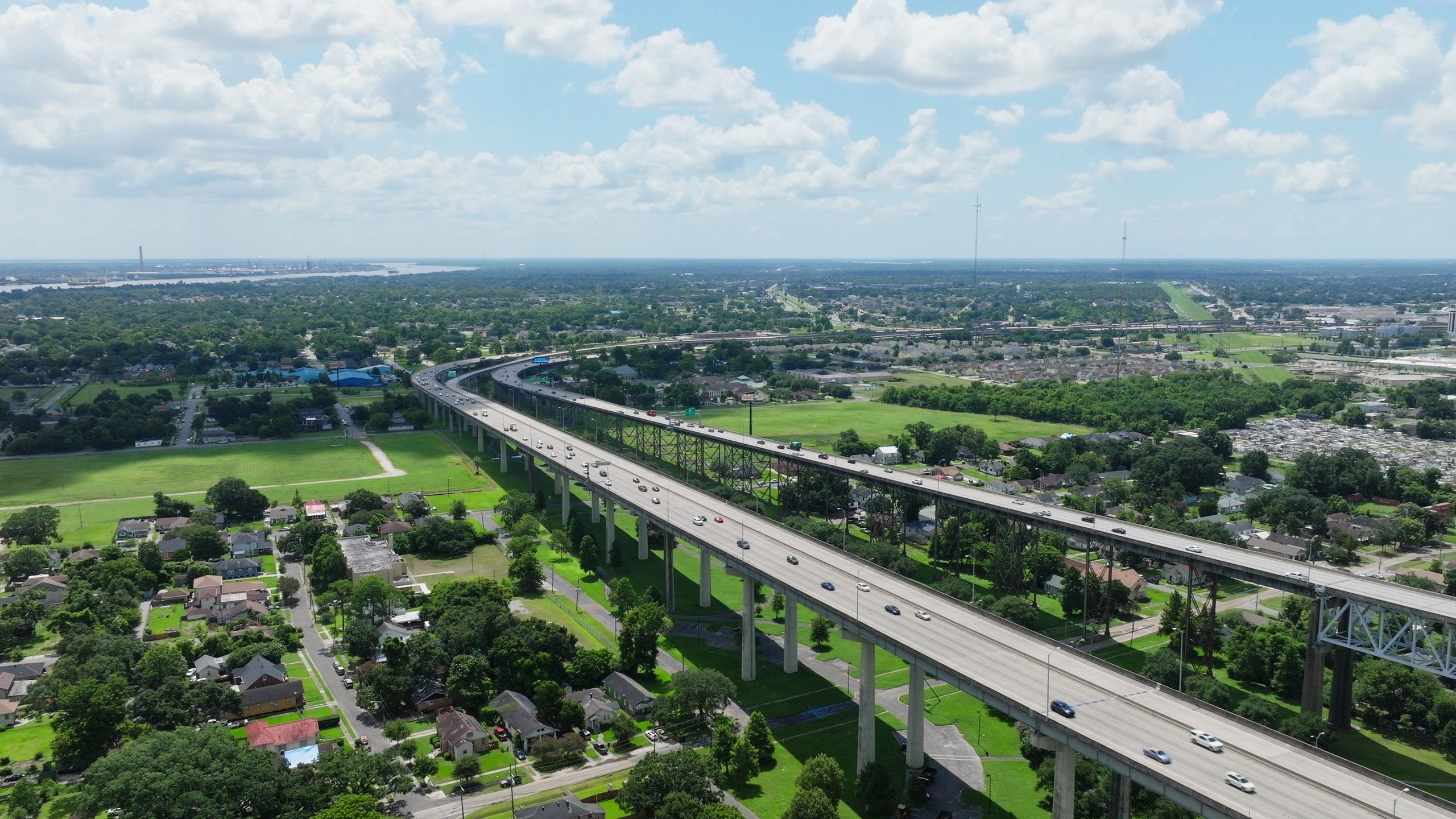
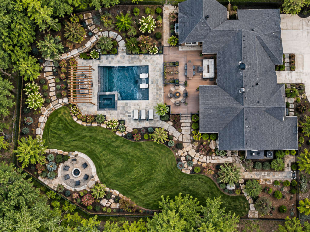
Aerial mapping and imagery for landscape design, outdoor construction, property improvements, drainage planning, and documenting existing site conditions.