About Us
Built for Better Site Decisions
SiteMap Solutions brings practical construction and surveying experience to every aerial data project.
Our Approach
A Clearer View of Every Site
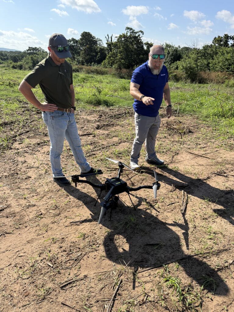
SiteMap Solutions was founded by Brian Obermann and John Glenn to bring practical drone technology and accurate aerial data to the construction industry. Brian’s background in construction management gives him firsthand knowledge of the challenges contractors face in the field. John’s background in surveying brings a deep understanding of measurement, positioning, and site accuracy.
Together, we combine that field experience with modern drone mapping and photogrammetry. We give contractors, engineers, developers, and project teams more than aerial photos. We turn what we capture from above into measurable information that helps you understand site conditions, track progress, verify work, and make better decisions at every stage of a project.
We focus on the jobsite first and the technology second. Whether we’re building a detailed site map, reviewing cut and fill, calculating material volumes, documenting progress, or developing a 3D model, our goal is the same: information that is practical, accurate, and useful in the field.
Why Work With Us
FAA Part 107 Certified
Licensed remote pilots on every flight.
Fully Insured
Certificates of insurance available on request.
Field Experience
Construction and surveying backgrounds. We know grades and tolerances.
Based in NW Arkansas
Serving Arkansas, Missouri, Oklahoma, Kansas and beyond.