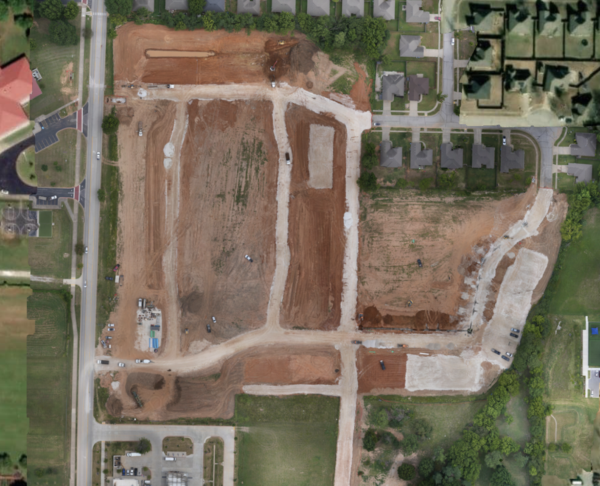
See Your Project Clearly
SiteMap Solutions captures high-quality aerial photography that gives project teams a clear view of site conditions, progress, and surrounding context.
Our drone-based imagery supports documentation, stakeholder updates, planning, and marketing with dependable visual coverage from above.
Built for the Field
Visuals That Work Harder
From a single flight to recurring site documentation, we deliver imagery that helps civil construction teams communicate progress and make informed decisions.
Project Progress
Site Documentation
Stakeholder Updates
Marketing Assets
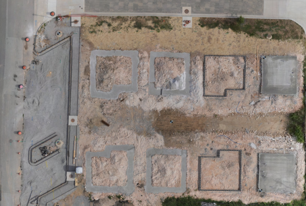
Ready for a Better View?
Tell us about your project and get aerial photography tailored to your site needs.