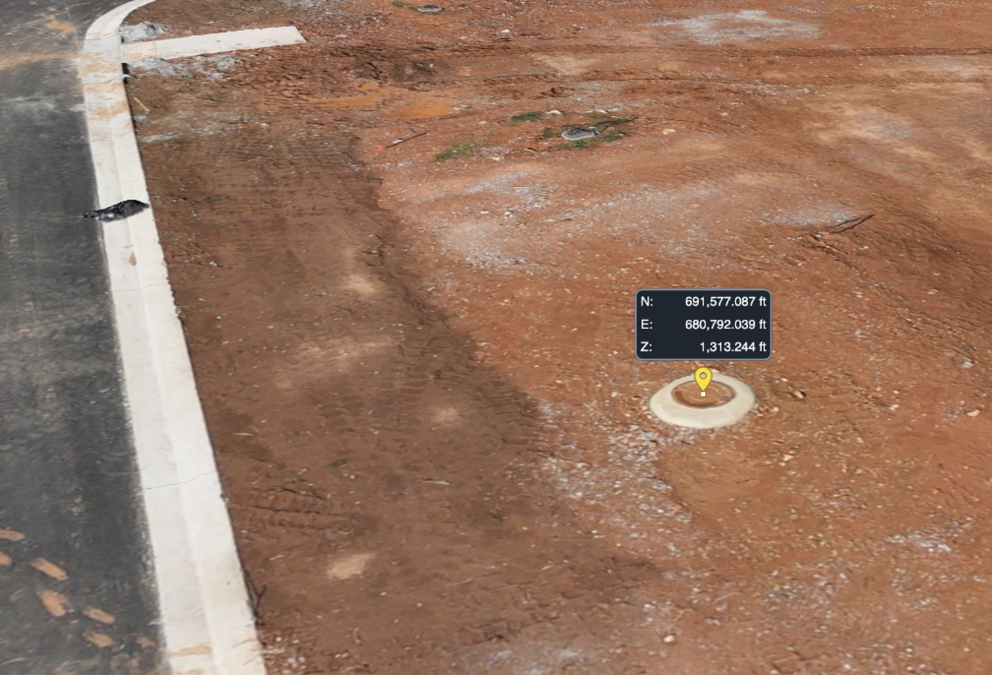
Custom Measurements
Use current aerial data to take measurements across the jobsite, including distances, areas, elevations, height differences, and other project-specific measurements without needing to physically access every location.
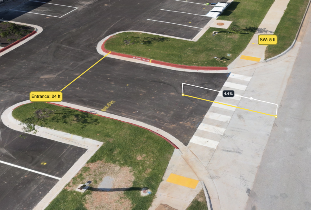
Slope & Grade Analysis
Evaluate slopes and elevation changes across roads, pads, ponds, drainage areas, and other site features. Measurements can help teams verify existing grades, investigate problem areas, and compare current conditions with project requirements.
Drainage & Water Flow Analysis
Use detailed elevation data to evaluate how water is expected to move across the site. Surface models can help identify drainage paths, low points, and areas where water may collect, giving project teams a clearer picture of site drainage conditions.
Design vs. Existing Conditions
Compare current site conditions with proposed plans and design surfaces to identify elevation differences, grading discrepancies, and areas that may require additional work.
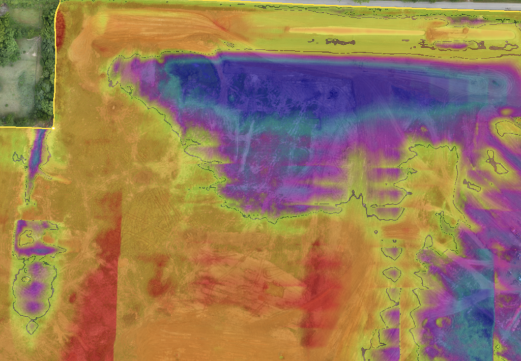
Progress & Change Tracking
Compare drone datasets collected at different stages of construction to visualize how the site has changed, document completed work, and monitor grading and earthwork progress over time.
Ready for Clearer Project Insights?
Talk with SiteMap Solutions about aerial data and analysis for your next civil construction project.