Aerial data for smarter construction
SiteMap Solutions delivers photogrammetry, aerial photography, and practical project insights that help civil construction teams measure, document, and move forward with confidence.
FAA Part 107 Certified · Fully Insured · Based in Northwest Arkansas · Serving the Four-State Area and Beyond
Services
Built for the jobsite
Clear visuals and reliable data for every stage of civil construction.
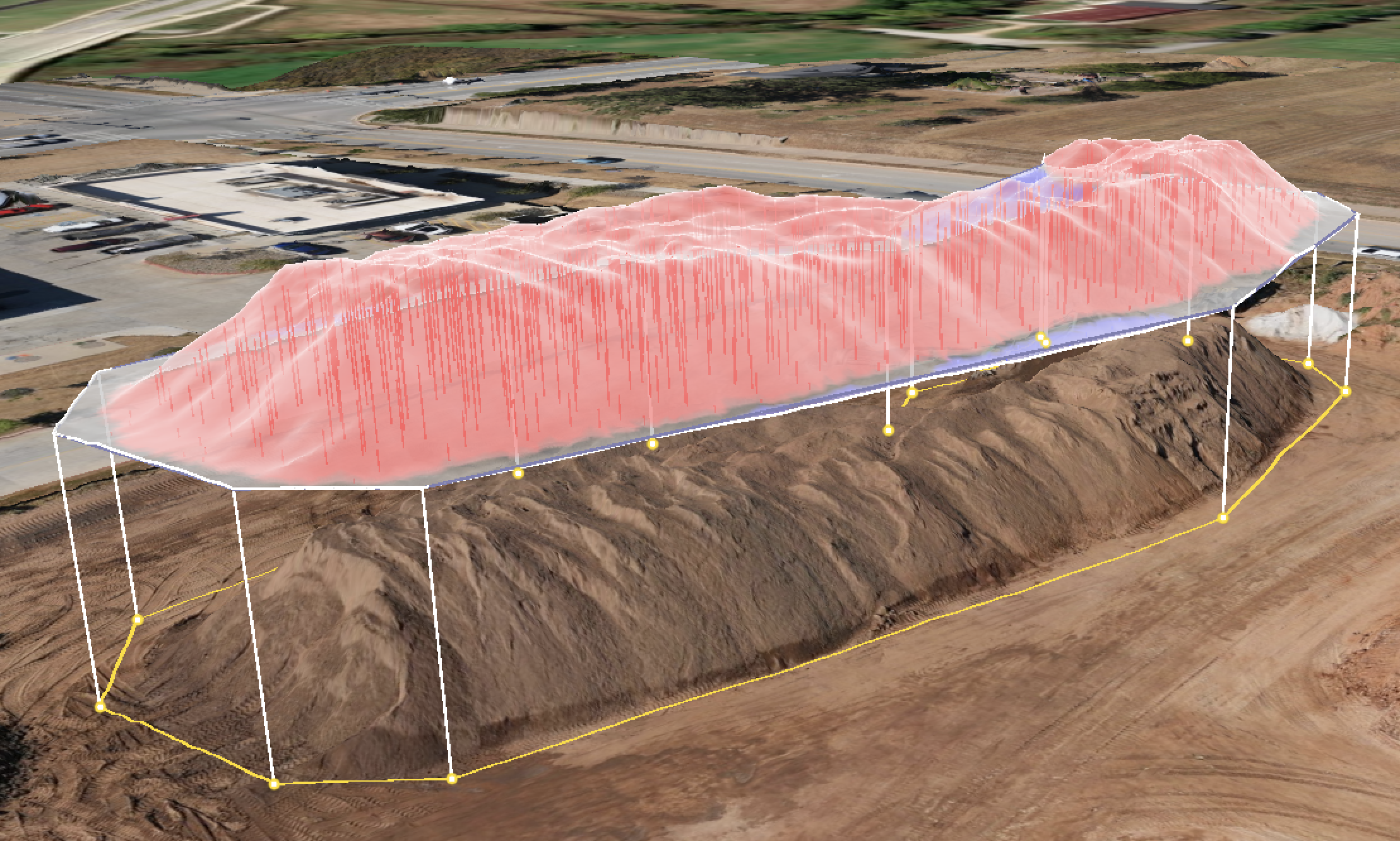
Civil Construction Photogrammetry
Accurate site models, volume calculations, stockpile measurements, and elevation analysis.
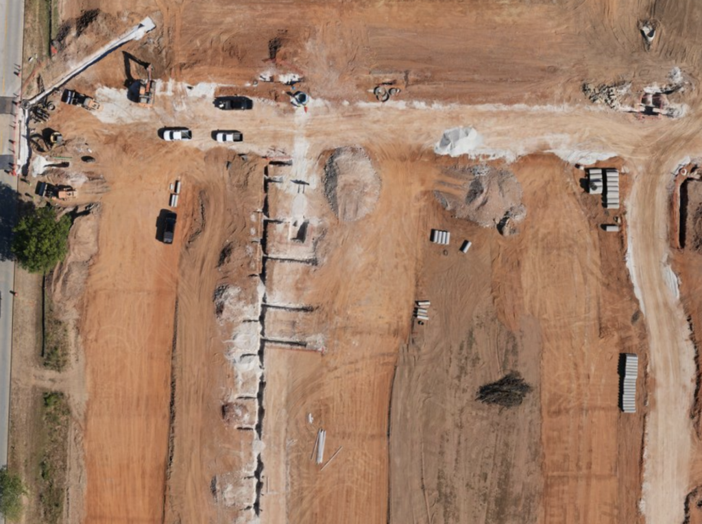
Aerial Photography
High-quality overhead imagery for progress tracking, stakeholder updates, and project records.
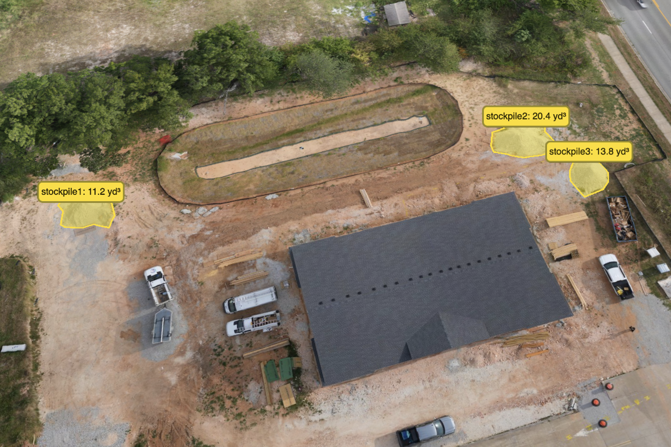
Project Insights
Turn aerial imagery into useful visuals that clarify site conditions and support decisions.
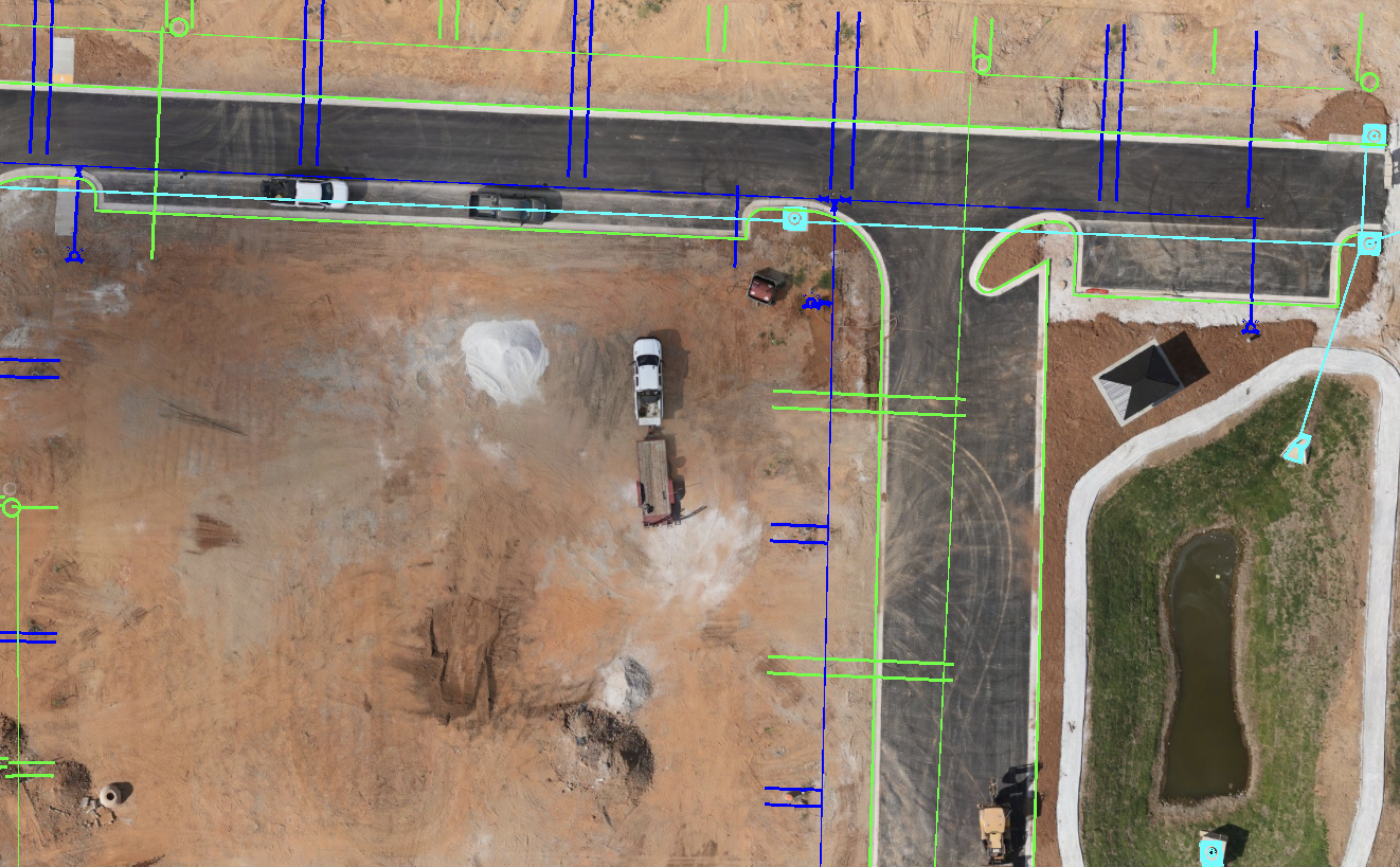
Other Services
Flexible drone support for construction documentation, site capture, and project-specific needs.
What You Get
- High-resolution orthomosaic site maps
- Stockpile and material volume reports
- Elevation surfaces and contours
- Cut and fill comparisons
- CAD-ready linework and exports
- Progress photo and video sets
How It Works

01
Tell Us About Your Site
Share your location, project goals, and the data you need.
02
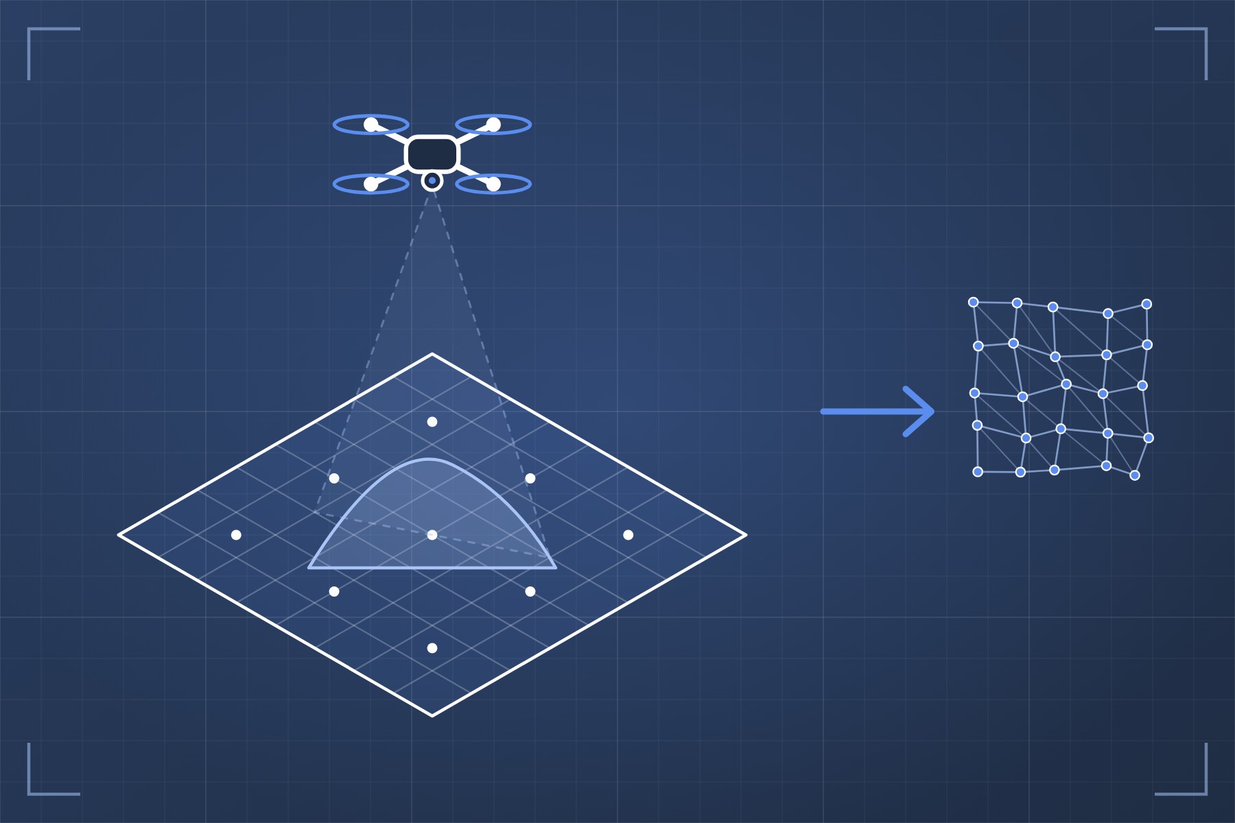
We Fly and Process
Our FAA-certified pilots capture the site and process the imagery into accurate maps and models.

03
You Get Usable Data
Receive maps, volumes, and visuals ready for your team, your engineer, or your client.